
Go to this location: What3Words ///empire.tulip.tree
Children often draw houses with pointed roofs. If there are clouds in their picture, with blue lines for rain, when it hits the roof, the rain will either run down one side of the pointed roof, or the other. It’s the same with the landscape. Where there are hills, or even a gentle slope, rain will run down one side or another into the closest stream or river and then as smaller streams join with increasingly large rivers, eventually all that water flows into the sea – this is called a drainage basin.
All of the water that falls as rain in Birmingham or flows through its rivers eventually ends up in the North Sea via the Humber Estuary near Hull in East Yorkshire. Rain that falls in Halesowen, Brierly Hill, south Dudley or west Wolverhampton flows in completely the opposite direction, south west via the Stour into the River Severn and out to the Bristol Channel.
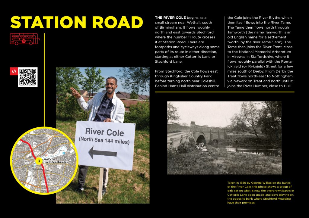
The river Cole begins as a small stream near Wythall, south of Birmingham. It flows roughly north and east towards Stechford where the number 11 route crosses it at Station Road. There are footpaths and cycleways along some parts of its route in either direction, starting at either Cotterills Lane or Stechford Lane. From Stechford, the Cole flows east through Kingfisher Country Park before turning north near Coleshill. Behind Hams Hall distribution centre the Cole joins the River Blythe which then itself flows into the River Tame. The Tame then flows north through Tamworth (the name Tamworth is an old English name for a settlement ‘worth’ by the river Tame ‘Tam’). The Tame then joins the River Trent close to the National Memorial Arboretum in Alrewas in Staffordshire where it flows roughly parallel with the Roman Icknield (or Ryknield) Street for a few miles south of Derby. From Derby the Trent flows north-east to Nottingham, via Newark on Trent and north until it joins the River Humber close to Hull.
Taken in 1889 by George Wilkes on the banks of the River Cole, this photo shows a group of girls sat on what is now the overgrown banks in Cotterils Lane open space, and boys playing on the opposite bank where Stechford Moulding have their premises. The houses in the background are long gone, but a nearby farm called ‘Fir Tree Farm’ is remembered in the name of the street off Station Road nearby. The bridge too has been replaced as traffic levels have increased over the years